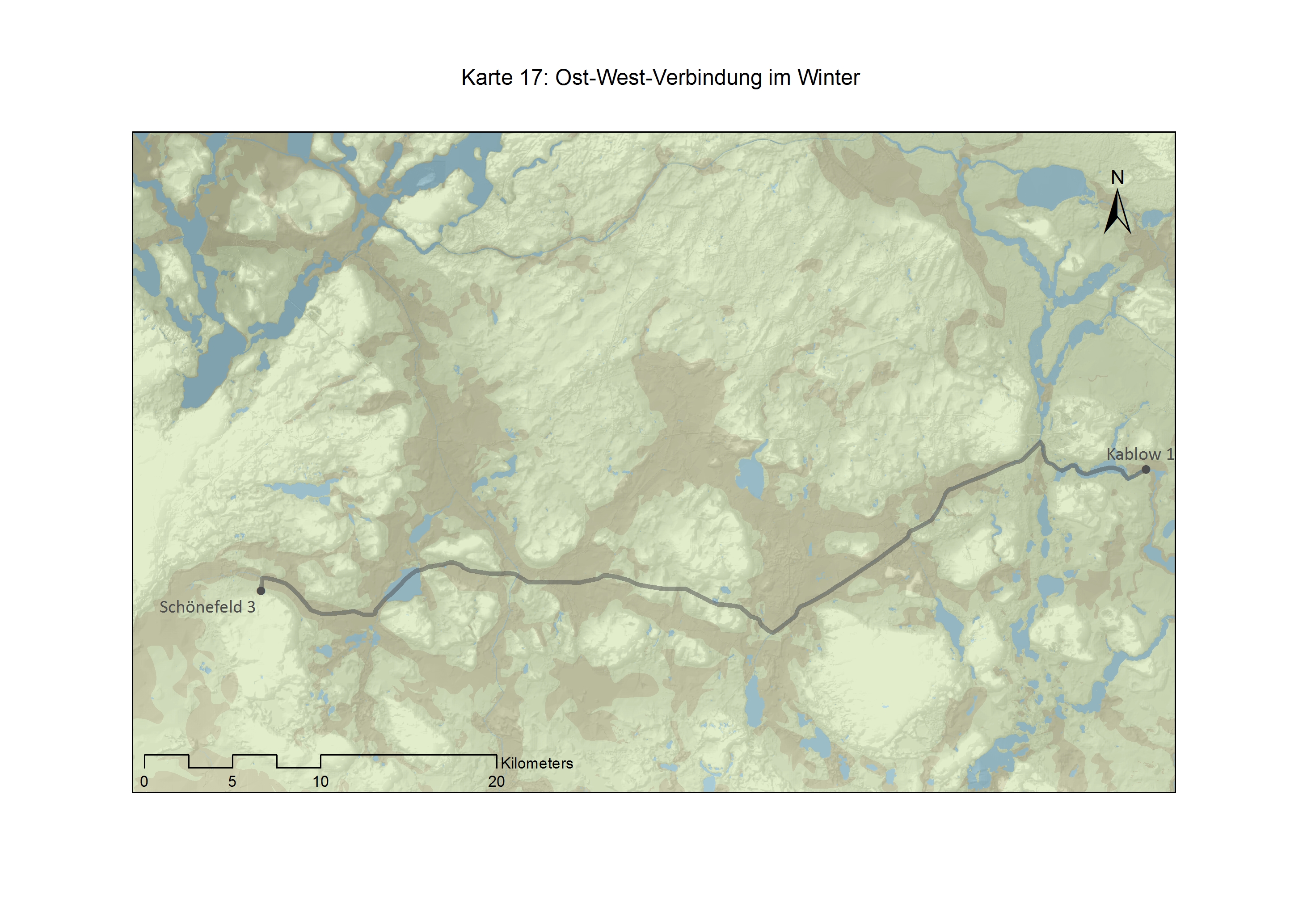
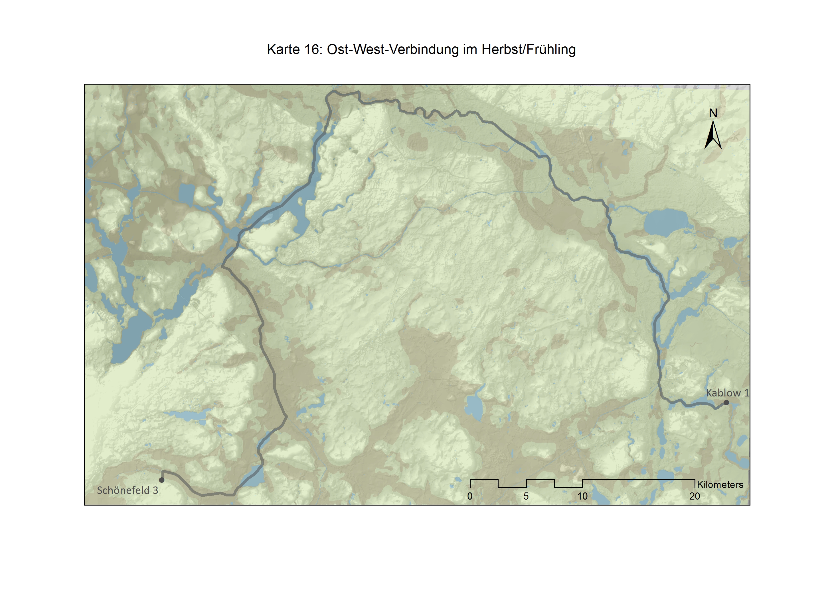
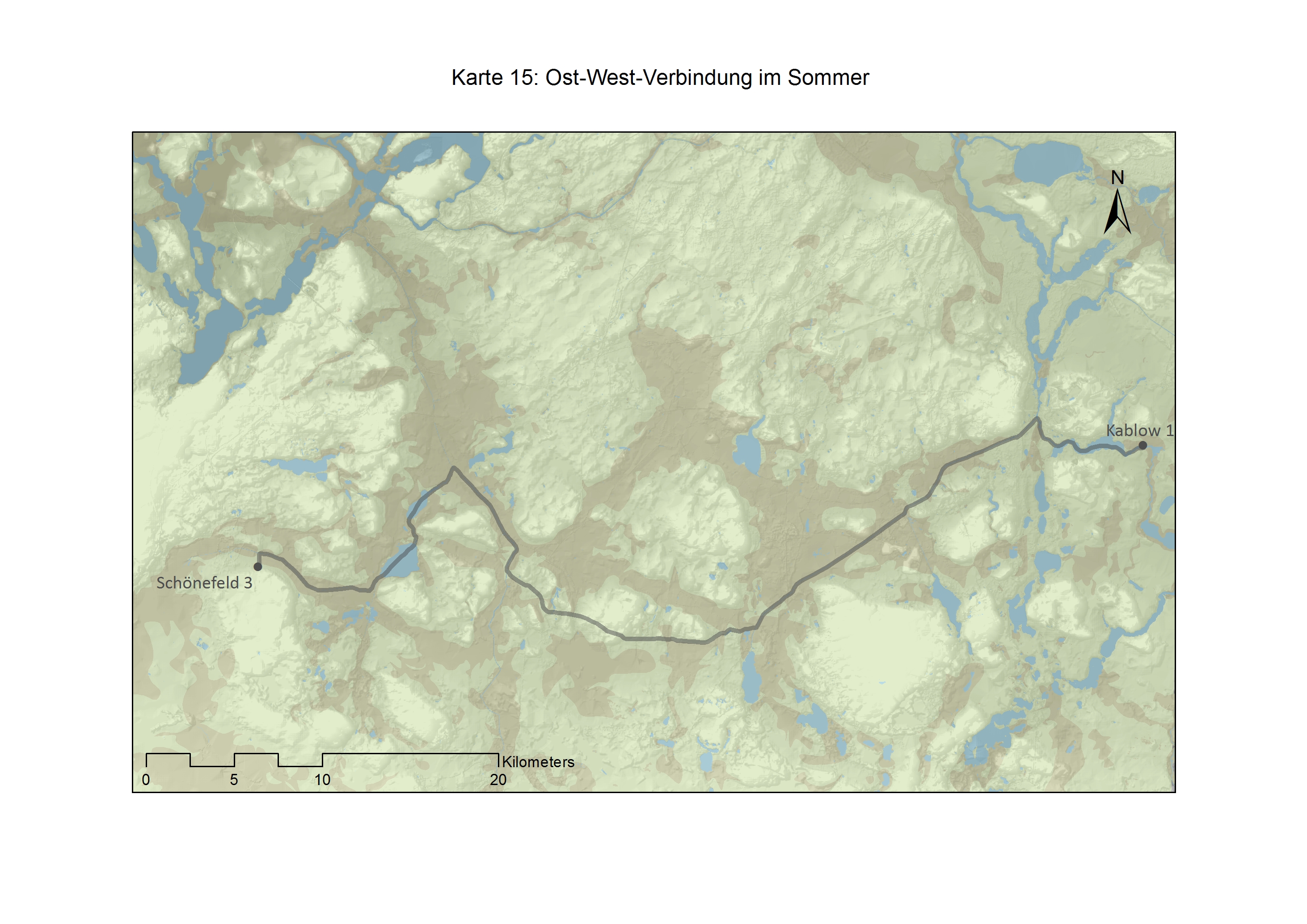
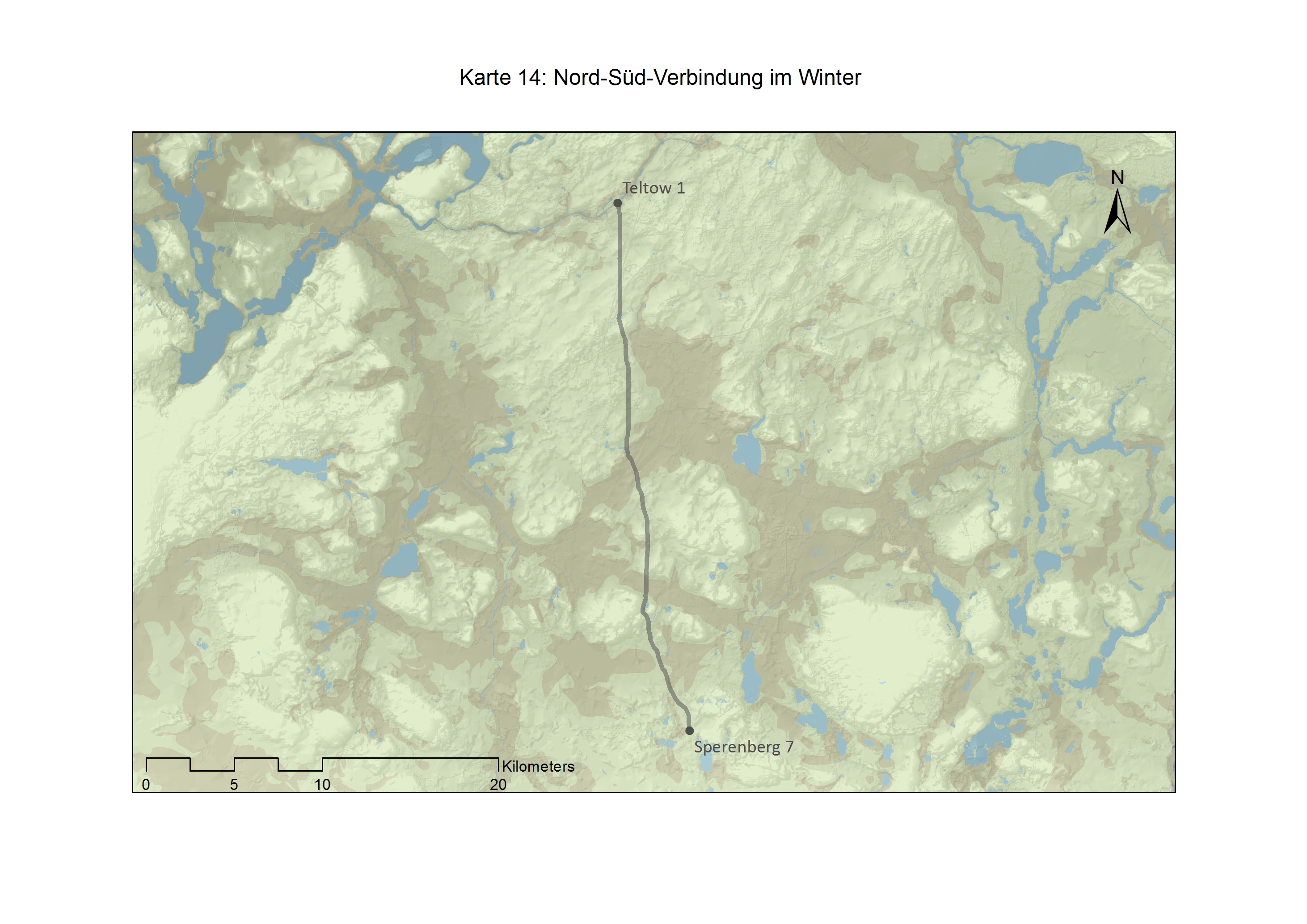
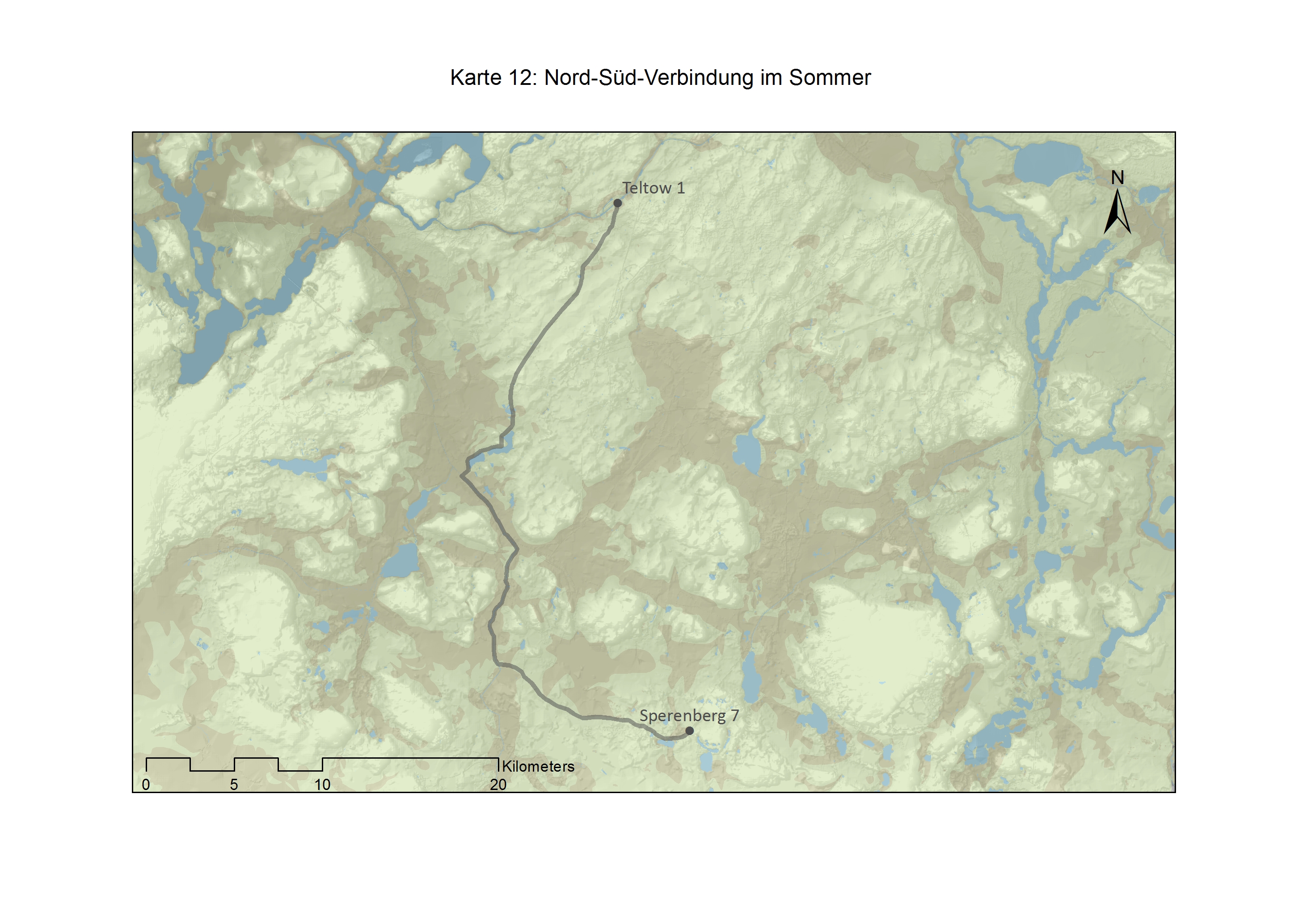
The Teltow-area south of Berlin knows several dozen of settlements that date to the Iron Age. A small number of them evidently produced iron. A trade between those settlements is likely, but how did the routes look like on which the trade happened? Did the people use chariots and animals to move through the forests or did they resort to boats or rafts and travelled via the rivers of the region?The thesis tried to answer these questions by performing a Least-Cost-Path analysis.
By identifying the physically easiest path between two settlements assumptions can be made about the way people moved through the landscape. By varying parameters the influence of the weather was modelled, in order to understand the seasonality of the trade network.
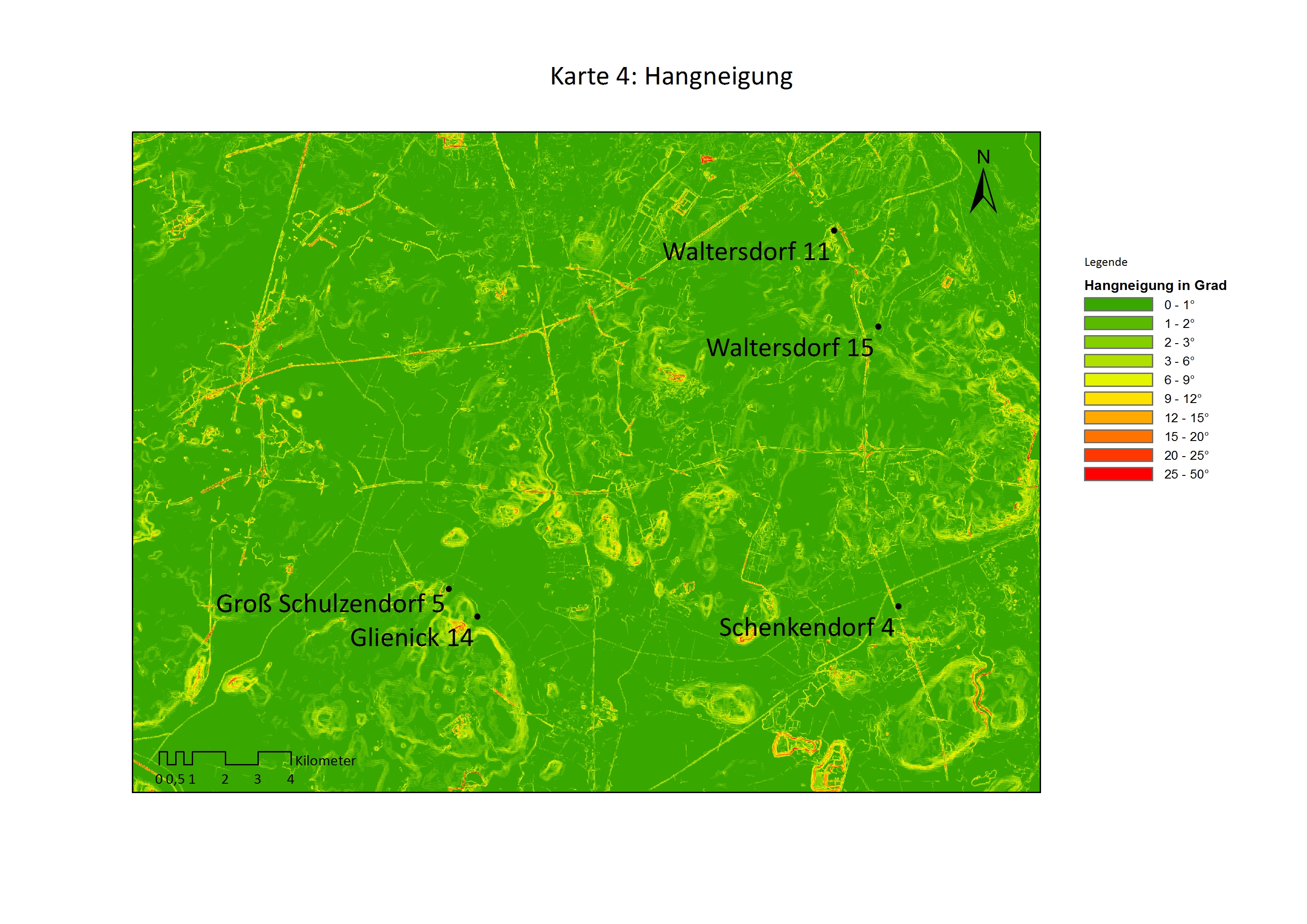
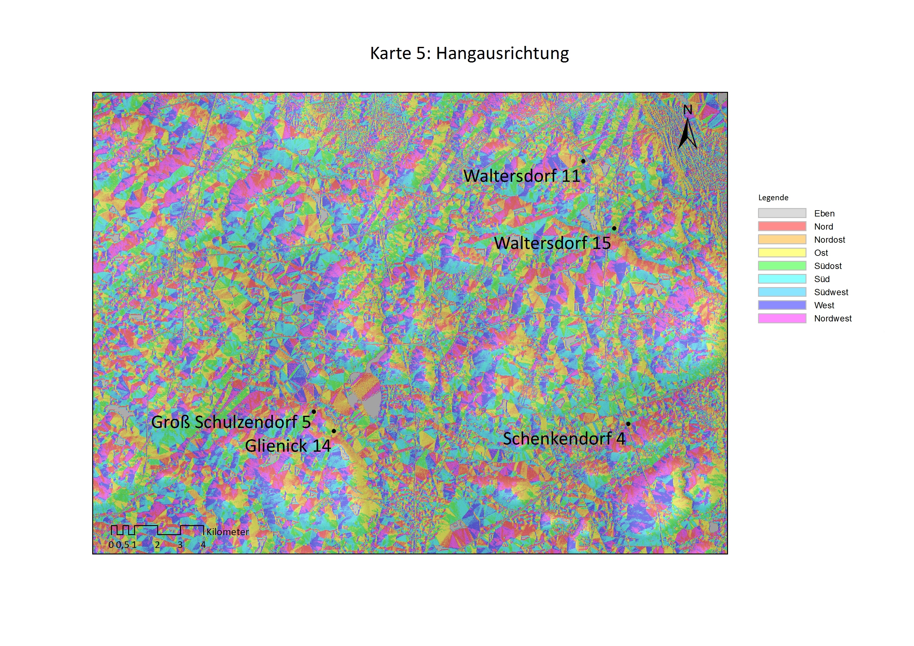
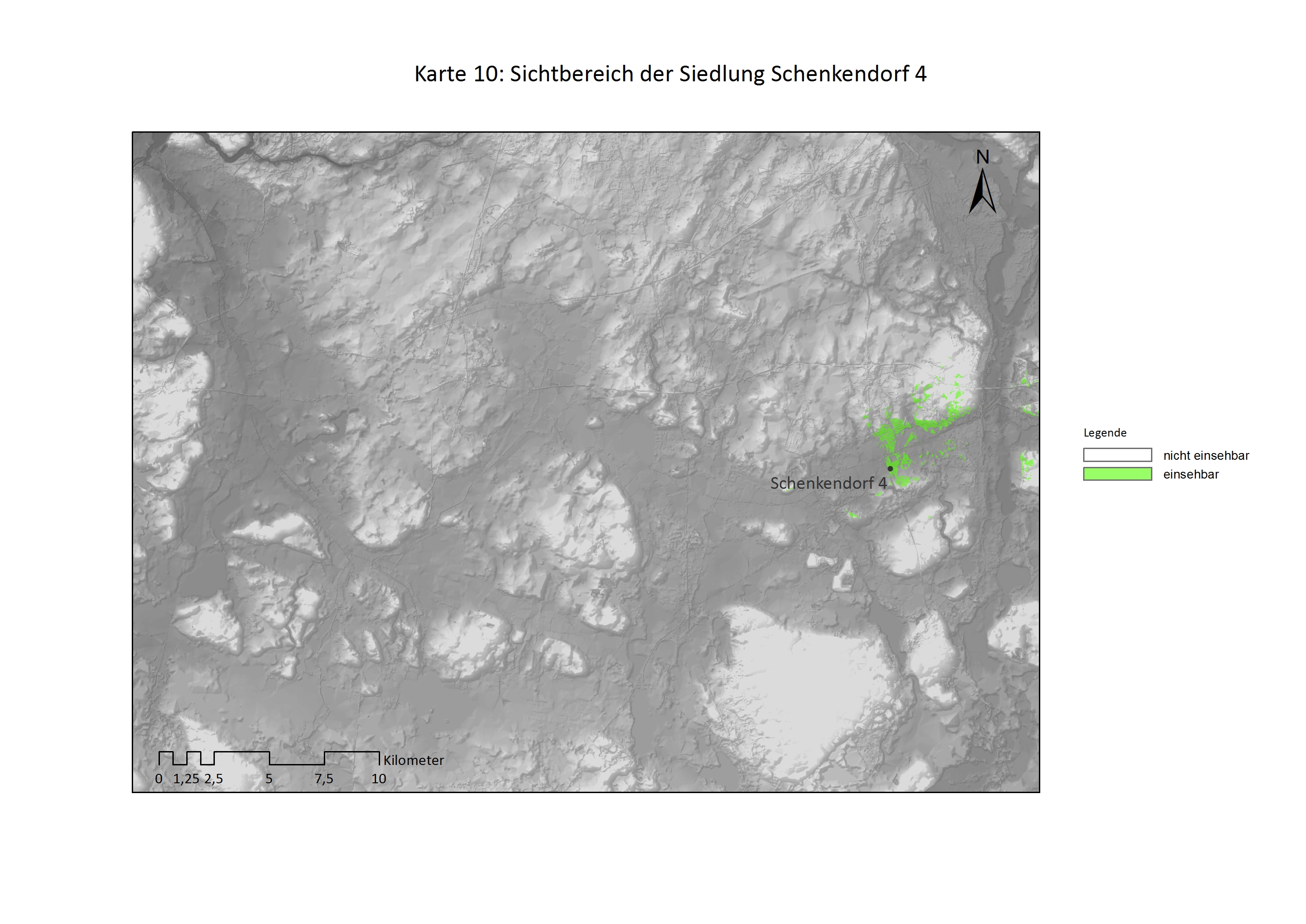
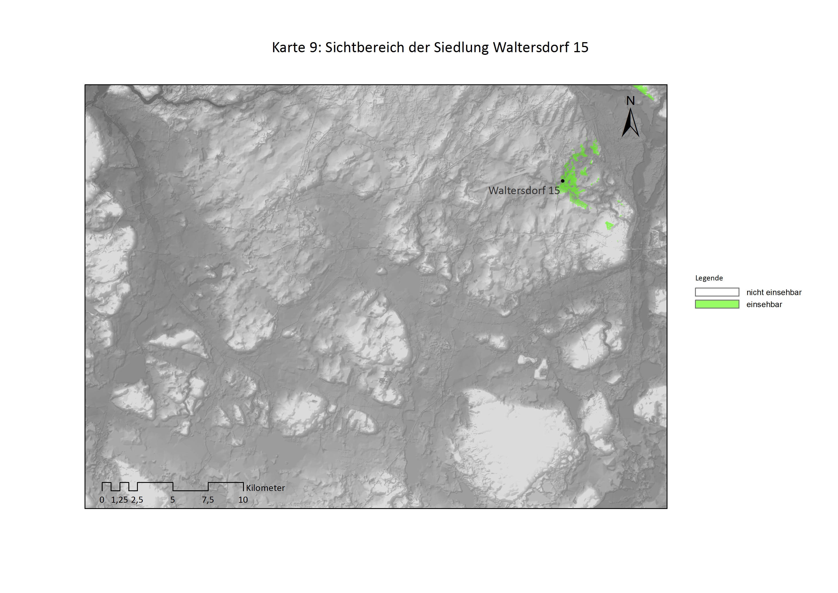
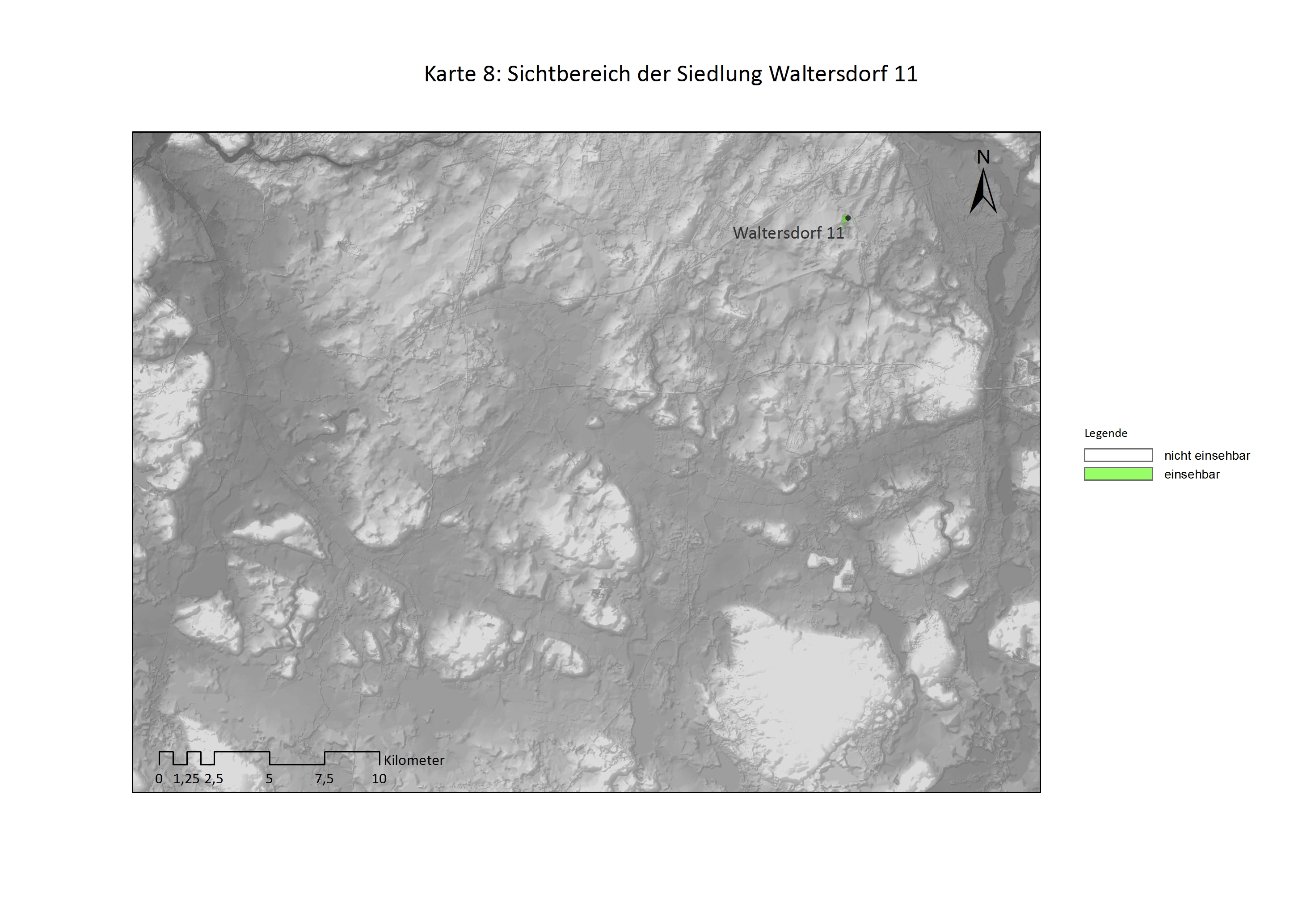
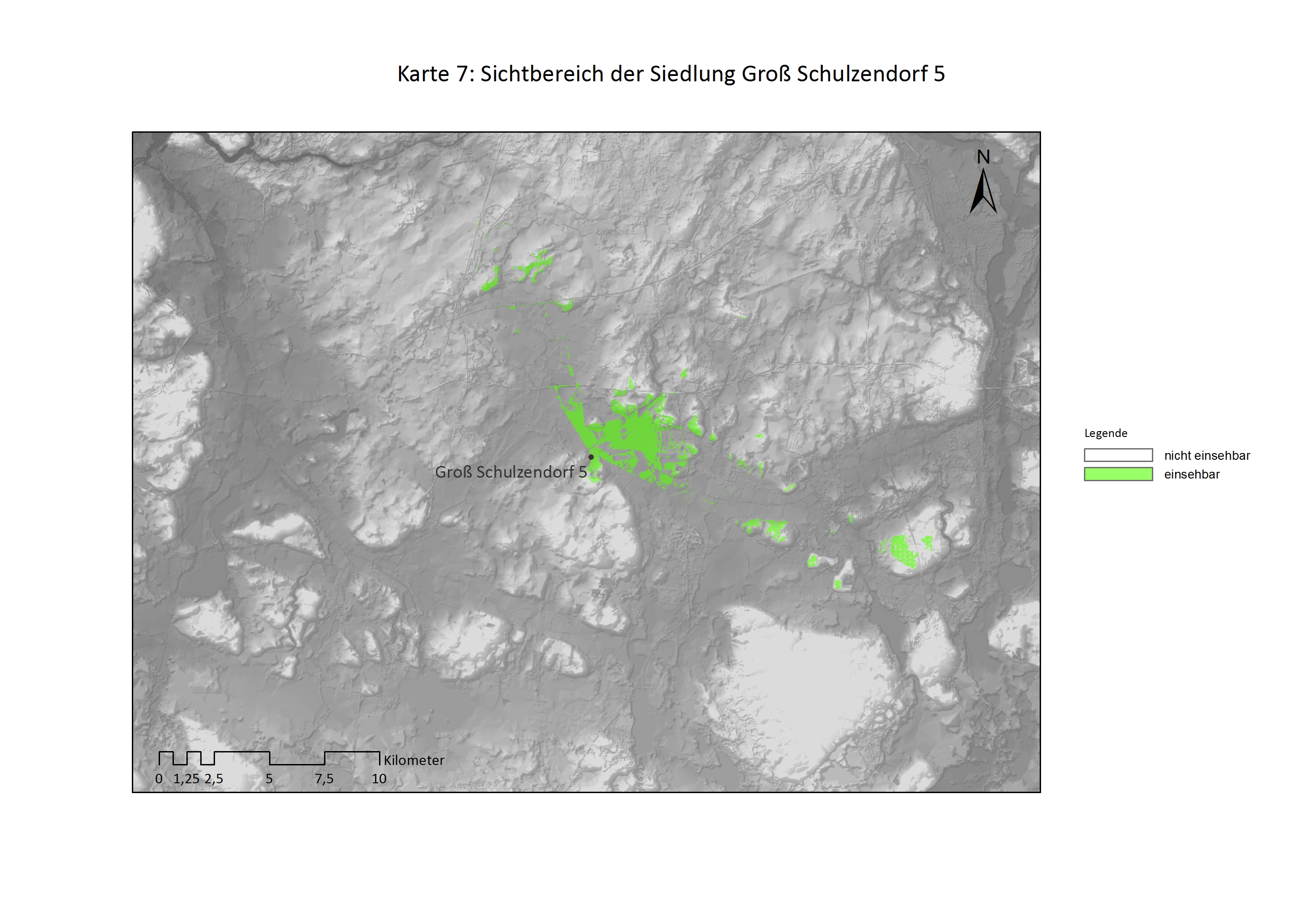
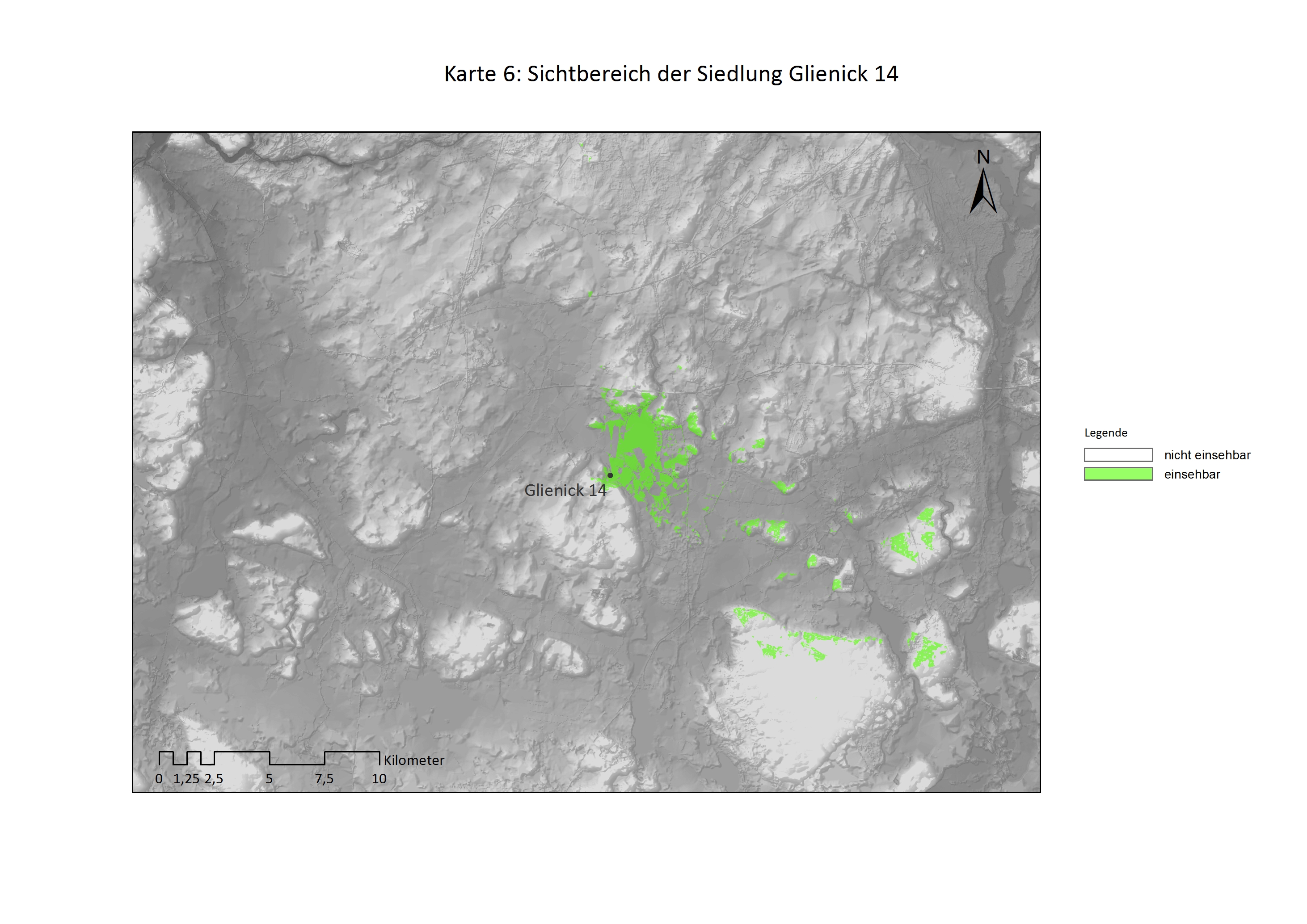
Additionally, the locational factors of each settlement were evaluated. This included geology, access to water, geomorphology…